Tring, Northchurch and Berkhamsted Urban Transport Plan: Speed Management Tring Station

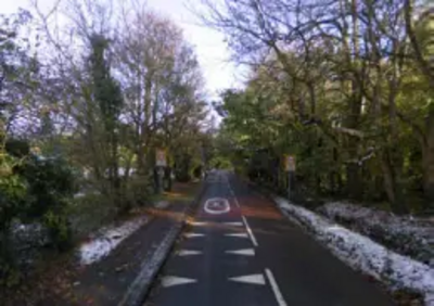
Station Road is on the eastern outskirts of Tring, connecting the town centre with the Railway Station and the Grand Union Canal. This route is heavily used by commuters on foot, bike or car.
Most of Station Road is National Speed Limit reducing to 30mph on the approach to the canal bridge - however drivers fail to slow down causing an unsafe environment for pedestrians and cyclists.
The introduction of a 600m 40mph buffer zone is again suggested. A review of this section found that 4 accidents have occurred here since 2007 and on more than one occasion, reduced vehicle speed would have reduced the severity of the incident.
Further, on the approach to Tring Station from the east the National Speed Limit is in operation up to Northfield Road where the 30mph zone begins. The area for consideration for speed management is from here up to Royal Court, the other side of the bridge over the railway line. Despite the measures in place, there are grave concerns that they are insufficient in terms of keeping speeds reasonable and the accident risks low for access traffic to the station.
There is a proposal for 'Ripple Print' to be installed within the 30mph zone on either side of the bridge. Ripple Print is a gentle corrugation 'printed' on the road surface which combines the benefits of a rumble strip without the associated noise to nearby residents. Internal noise and vibration are retained within a vehicle, but external noise is low.
(Scheme Proforma's 31 and 39 refer in more detail)
